North American Continent Black and White Political Borders Clipart Map Design

Monochromatic silhouette clipart illustration of the North American continent, showcasing political boundaries of the United States and Canada with distinct state and provincial outlines in stark black against a white background.
1749x174095.09KBimage/webp
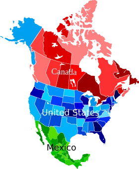
North American Continent Political Map Clipart with Colorful Country Representations
North American Continent Monochrome Political Boundaries Clipart Map Illustration
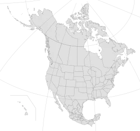
Minimalist North American Continent Political Map Clipart – Clean Geographic Illustration
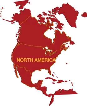
North American Continent Political Map Clipart in Bold Crimson and Golden Tones
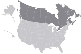
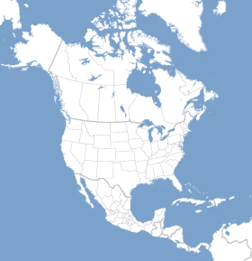
Minimalist Grayscale United States and Canada Territorial Clipart Map Illustration

Minimalist Black and White Canada Country Outline Clipart Map Illustration
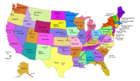
Colorful United States Map Clipart – A Vivid Representation of American Geography

Minimalist North America Continent Grayscale Clipart Map Illustration
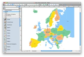
European Union Member States Interactive Political Map Clipart Design
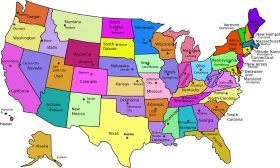
Colorful United States of America Political Regions Clipart Map Illustration
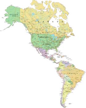
Detailed Political Map of the Americas Clipart – North and South Continental Illustration
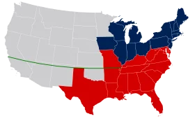
United States Political Divide Geographical Representation Clipart Map Illustration
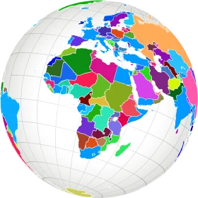
Colorful Political World Map Clipart – Global Regions Illustrated in Diverse Palette

United States Map Silhouette with American Flag Pattern – Patriotic USA Outline

Educational Classroom Scene with Teacher and Students Learning Geography Clipart

Colorful Educational World Globe Clipart Illustration for Learning Geography

Engaging Elementary Student Learning Geography with Colorful Earth Clipart Illustration

Detailed Illustrated Canada Goose Clipart with Realistic Feather Texture and Posture

Stylized Minimalist Canada Goose Clipart with Soft Earth-Toned Palette