United States Political Divide Geographical Representation Clipart Map Illustration
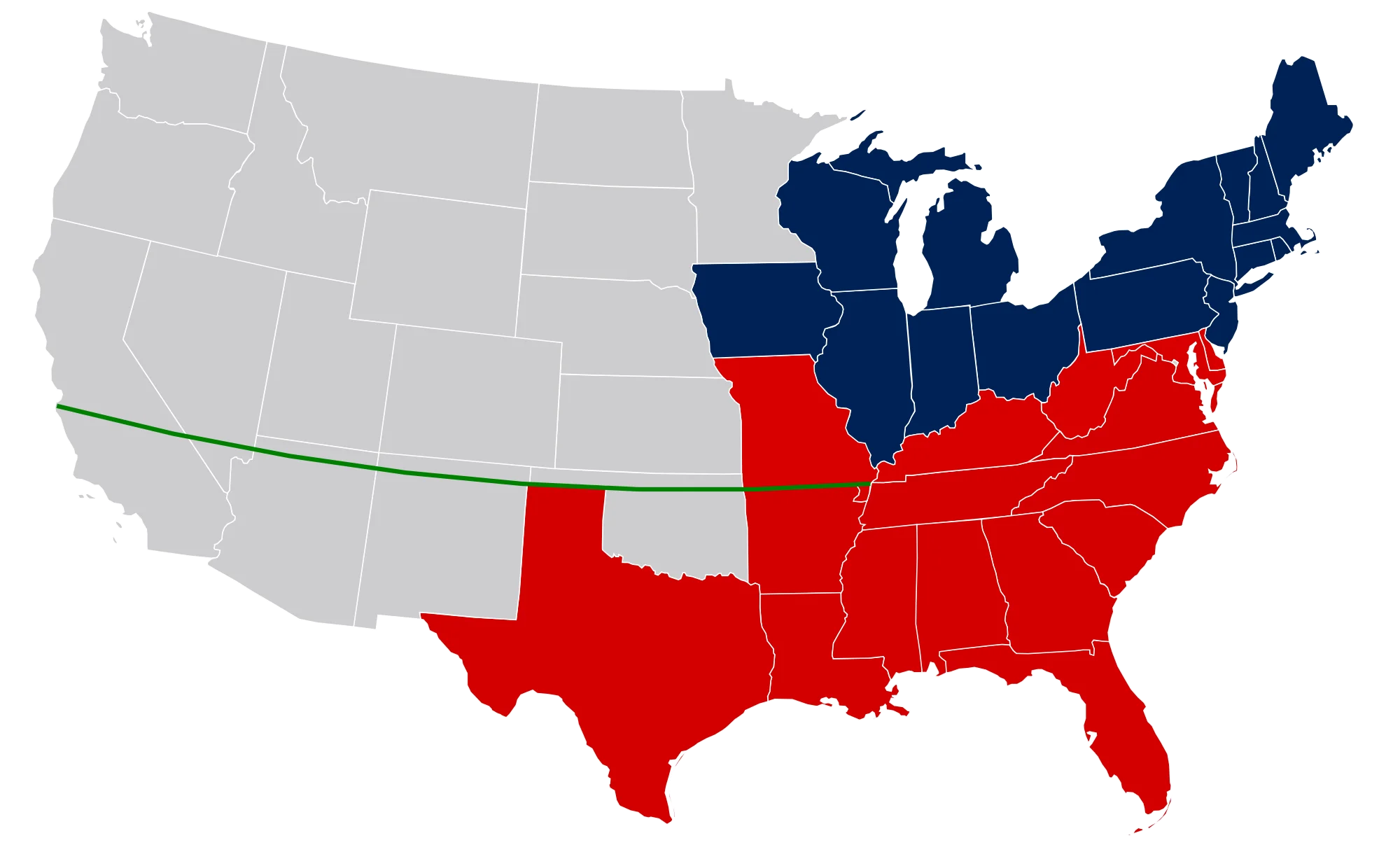
A simplified clipart map of the United States showing regional color differentiation between blue and red states, representing political polarization with a distinct color scheme
2000x123797.21KBimage/webp
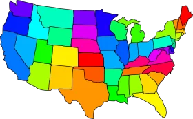
Colorful United States Map Clipart – A Vivid Representation of American Geography
United States Map Silhouette with American Flag Pattern – Patriotic USA Outline

Detailed Briefwahl Election Voting Letter Clipart Graphic Design Illustration
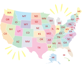
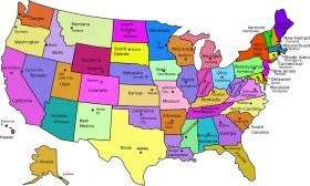
United States of America Pastel-Toned States Map Clipart Illustration Design

Grayscale Ballot Box Clipart Illustration Depicting Democratic Election Process

Dynamic Color Division: Interlocking Primary Hues Circular Clipart Design

Simplified Anatomical Brain Clipart Illustration with Hemispheric Division
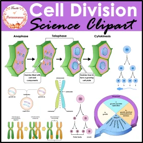
Cell Division Science Clipart: Comprehensive Visual Guide to Mitosis Stages

Educational Classroom Scene with Teacher and Students Learning Geography Clipart

Colorful Educational World Globe Clipart Illustration for Learning Geography

Engaging Elementary Student Learning Geography with Colorful Earth Clipart Illustration
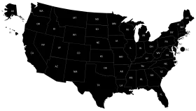
Minimalist Black Silhouette United States Map Clipart Design for Graphic Projects

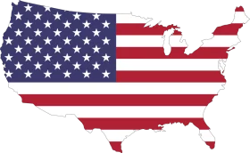
Patriotic American Flag Map of United States – National Symbol Waving Design Clipart
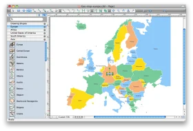
European Union Member States Interactive Political Map Clipart Design

United States Map Location Marker Clipart Illustration Design
Patriotic United States Map Clipart Showcasing Stars and Stripes National Design

Patriotic United States Map Clipart with Stars and Stripes National Design

Patriotic United States Map Silhouette Featuring National Flag Clipart Design

United States Map Shaped as American Flag Patriotic Clipart Design