European Union Member States Interactive Political Map Clipart Design
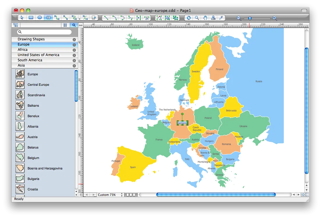
A detailed clipart map showcasing the geographical representation of European Union countries with color-coded regions, displayed within a software interface with visible toolbars and menu options
1104x75069.56KBimage/webp
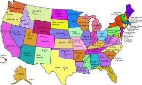
Colorful United States Map Clipart – A Vivid Representation of American Geography

North American Continent Black and White Political Borders Clipart Map Design
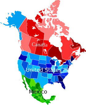
North American Continent Political Map Clipart with Colorful Country Representations
Colorful United States of America Political Regions Clipart Map Illustration
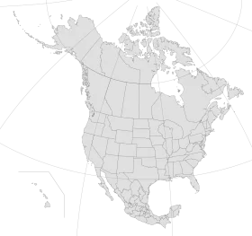
North American Continent Monochrome Political Boundaries Clipart Map Illustration
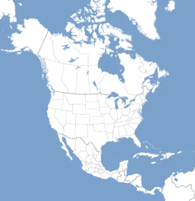
Minimalist North American Continent Political Map Clipart – Clean Geographic Illustration
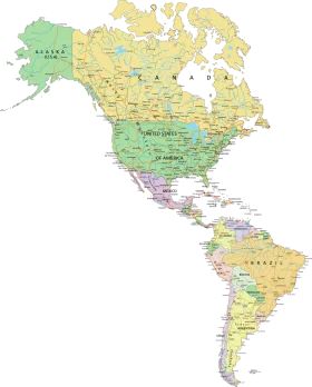
Detailed Political Map of the Americas Clipart – North and South Continental Illustration
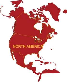
North American Continent Political Map Clipart in Bold Crimson and Golden Tones
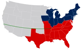
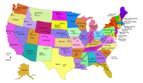
United States Political Divide Geographical Representation Clipart Map Illustration
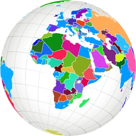
Colorful Political World Map Clipart – Global Regions Illustrated in Diverse Palette

Educational Classroom Scene with Teacher and Students Learning Geography Clipart

Colorful Educational World Globe Clipart Illustration for Learning Geography

Engaging Elementary Student Learning Geography with Colorful Earth Clipart Illustration

Modern Digital Video Player Interface Minimalist Clipart Design Illustration

Digital Technology Connectivity Clipart: Futuristic Computer Interface Design
Google TV Colorful Clipart Logo – Stylish Media Interface Design

Minimalist Digital Communication Protocols Mobile Interface Clipart Design

Sleek Turquoise Round Glossy Button Clipart Design Element for Digital Interface

Digital Camera Control Panel Interface with Navigation Buttons and LCD Screen