Detailed Political Map of the Americas Clipart – North and South Continental Illustration
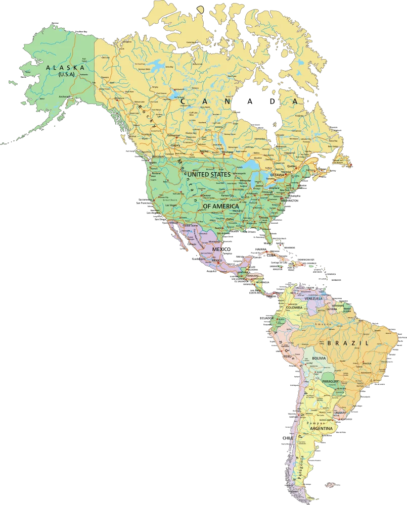
A comprehensive geographical clipart showcasing the political boundaries and territories of countries across North America, Central America, the Caribbean, and South America. The map features a soft color palette with distinct region coloring, displaying national borders, major landmasses, and geographical divisions.
805x1000125.47KBimage/webp
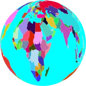
Colorful Global Perspective Worldmap Clipart – Kaleidoscopic Geographical Representation

Stylish Blue and White Global Connectivity Worldmap Clipart Design

Vintage Cartography Clipart: Unfolded Geographical Exploration Map Illustration

Colorful Educational World Globe Clipart Illustration for Learning Geography

Engaging Elementary Student Learning Geography with Colorful Earth Clipart Illustration

Educational Classroom Scene with Teacher and Students Learning Geography Clipart
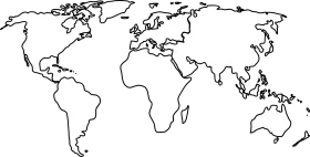
Minimalist World Map Outline Clipart – Global Cartography Sketch Design

Serene Global Cartography Clipart: Tranquil Earth Representation with Soft Color Palette
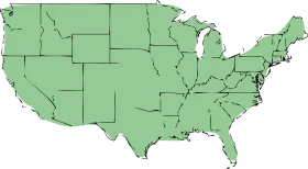
United States of America Political Outline Clipart in Soft Sage Green Cartography
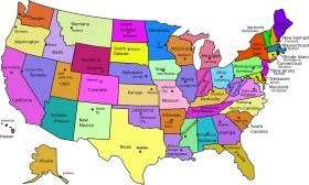
Colorful United States Map Clipart – A Vivid Representation of American Geography

Vibrant Yellow Five-Pointed Star with Turquoise Decorative Borders Clipart Design

Festive Easter Egg Clipart with Ornate Star Patterns and Wavy Decorative Borders

Enchanting Spring Meadow Grass and Flower Borders Clipart Landscape

Elegant Decorative Vintage Ornate Frame Clipart with Swirling Borders

Elegant Ornate Vintage Oval Frame Clipart with Decorative Swirled Borders

Elegant Golden Frame Clipart with Ornate Decorative Scroll Elements and Smooth Borders

North American Continent Black and White Political Borders Clipart Map Design

Festive Christmas Holiday Decorative Borders Clipart Collection with Poinsettias and Ribbons

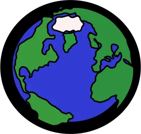
Serene Earth Clipart: Soft Pastel Global Illustration with Gentle Continents