Minimalist Grayscale United States and Canada Territorial Clipart Map Illustration
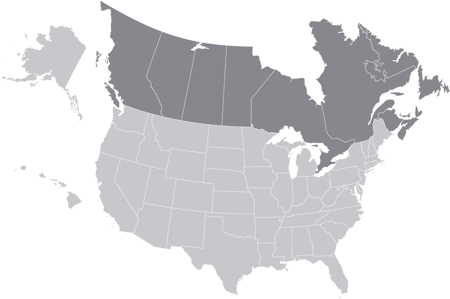
A simplified, monochromatic clipart map depicting the territorial boundaries of the United States and Canada, showcasing a clean and muted gray color palette with subtle regional delineations.
1551x103271.79KBimage/webp
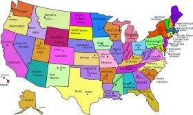
Colorful United States Map Clipart – A Vivid Representation of American Geography

North American Continent Black and White Political Borders Clipart Map Design
Minimalist United States Geographical Outline Clipart Map in Soft Grayscale Palette
Classic Chef Hat Clipart: Simplistic Culinary Icon with Bold Outline Design

Educational Classroom Scene with Teacher and Students Learning Geography Clipart

Colorful Educational World Globe Clipart Illustration for Learning Geography

Engaging Elementary Student Learning Geography with Colorful Earth Clipart Illustration

Vibrant Yellow Five-Pointed Star with Turquoise Decorative Borders Clipart Design

Festive Easter Egg Clipart with Ornate Star Patterns and Wavy Decorative Borders

Enchanting Spring Meadow Grass and Flower Borders Clipart Landscape

Elegant Decorative Vintage Ornate Frame Clipart with Swirling Borders

Elegant Ornate Vintage Oval Frame Clipart with Decorative Swirled Borders

Elegant Golden Frame Clipart with Ornate Decorative Scroll Elements and Smooth Borders

Festive Christmas Holiday Decorative Borders Clipart Collection with Poinsettias and Ribbons

Minimalist North America Continent Grayscale Clipart Map Illustration

Simplistic Cartoon Style Skull and Crossbones Clipart with Minimalist Design

Simplistic Turquoise Blue Fish Clipart with Minimalist Design for Creative Projects

Serene Blue Water Droplet Clipart: Simplistic Design with Glossy Highlight

Simplistic Milk Carton and Glass Illustration Minimalist Dairy Clipart Design