Minimalist Black and White Canada Country Outline Clipart Map Illustration
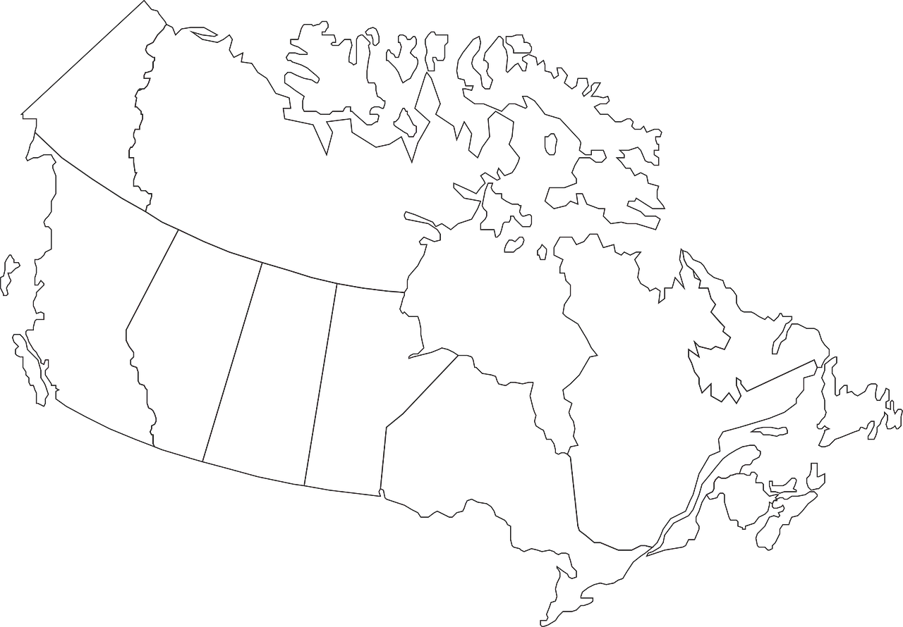
A simplified, clean line drawing clipart map of Canada showing provincial and territorial boundaries, featuring precise geographical contours and a monochromatic design
1280x89090.51KBimage/webp
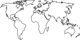
Minimalist World Map Outline Clipart – Global Cartography Sketch Design

Vintage Cartography Clipart: Unfolded Geographical Exploration Map Illustration
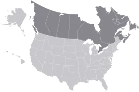
Minimalist Grayscale United States and Canada Territorial Clipart Map Illustration
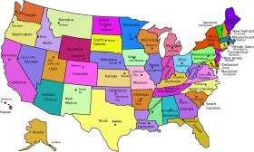
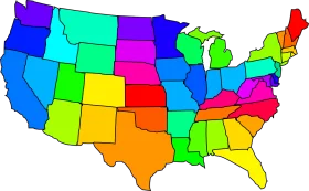
Colorful United States Map Clipart – A Vivid Representation of American Geography
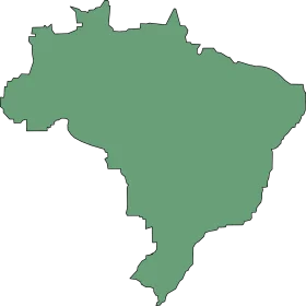
Simple Green Minimalist Brazil Country Outline Clipart Map Silhouette
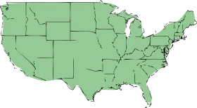
United States of America Political Outline Clipart in Soft Sage Green Cartography

North American Continent Black and White Political Borders Clipart Map Design
Colorful United States Map Clipart – Geographical Regions in Bright Palette
Colorful United States of America Political Regions Clipart Map Illustration
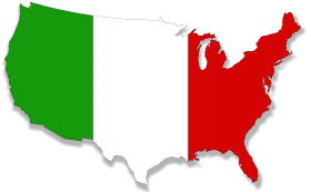
United States Territorial Expansion Clipart Map with Green and Red Regions
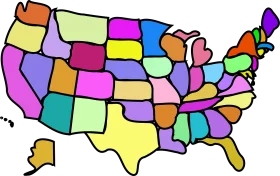
Colorful United States Geographical Regions Simplified Clipart Map Design
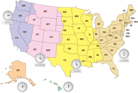
Comprehensive United States Time Zone Regions Clipart Map Illustration
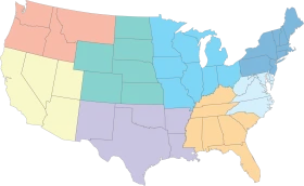
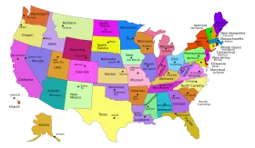
Pastel-Toned United States Regional Map Clipart with Color-Coded Regions
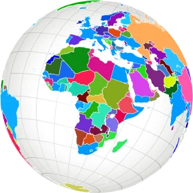
Colorful Political World Map Clipart – Global Regions Illustrated in Diverse Palette
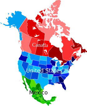
North American Continent Political Map Clipart with Colorful Country Representations

Educational Classroom Scene with Teacher and Students Learning Geography Clipart

Colorful Educational World Globe Clipart Illustration for Learning Geography

Serene Global Cartography Clipart: Tranquil Earth Representation with Soft Color Palette

Engaging Elementary Student Learning Geography with Colorful Earth Clipart Illustration