United States Territorial Expansion Clipart Map with Green and Red Regions
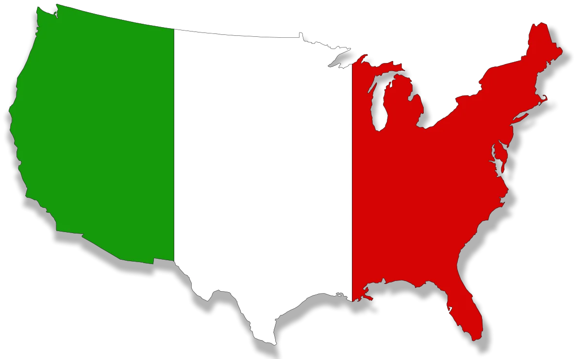
A simplified clipart representation of the United States map, showcasing two distinct colored regions - a green western section and a red eastern section - highlighting geographical contrast and potential regional differences.
1199x74145.02KBimage/webp
Colorful United States Map Clipart – A Vivid Representation of American Geography

United States Map Silhouette with American Flag Pattern – Patriotic USA Outline
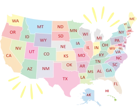
United States of America Pastel-Toned States Map Clipart Illustration Design

Colorful Educational World Globe Clipart Illustration for Learning Geography

Engaging Elementary Student Learning Geography with Colorful Earth Clipart Illustration

Educational Classroom Scene with Teacher and Students Learning Geography Clipart
Minimalist Black Silhouette United States Map Clipart Design for Graphic Projects

United States Map Location Marker Clipart Illustration Design

Patriotic United States Map Clipart Illustration with Stars and Stripes
Minimalist Black and White United States Outline Clipart Map Illustration
Minimalist Grayscale United States and Canada Territorial Clipart Map Illustration
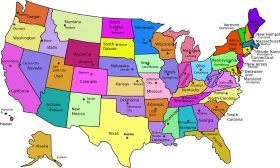
Colorful United States of America Political Regions Clipart Map Illustration

Simplified Blue Gradient United States Map Clipart Illustration
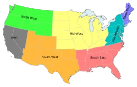
United States Regional Divisions Colorful Geographical Clipart Map Illustration
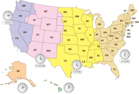
Comprehensive United States Time Zone Regions Clipart Map Illustration
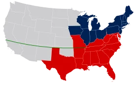
United States Political Divide Geographical Representation Clipart Map Illustration
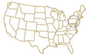
Minimalist Golden Outline United States Map Clipart – Elegant Geographical Illustration

Simplified United States National Map Blue Toned Clipart Illustration

Patriotic American Flag Map of United States – National Symbol Waving Design Clipart