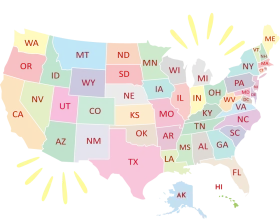
United States Regional Divisions Colorful Geographical Clipart Map Illustration
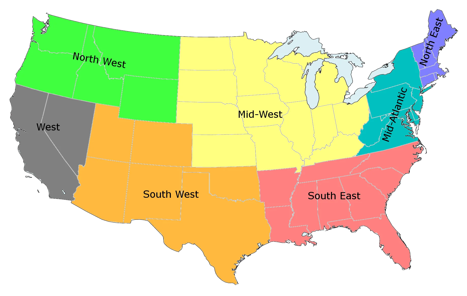
A simplified clipart-style map of the United States, divided into distinct geographic regions with unique color coding. Each region represents a different part of the country, including North West, West, South West, Mid West, South East, and other areas in contrasting pastel and solid colors.
1837x1166129.19KBimage/webp
Colorful United States Map Clipart – A Vivid Representation of American Geography
Colorful United States Map Clipart – Geographical Regions in Bright Palette
Colorful United States of America Political Regions Clipart Map Illustration
United States Territorial Expansion Clipart Map with Green and Red Regions

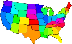
Colorful United States Geographical Regions Simplified Clipart Map Design
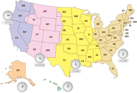
Comprehensive United States Time Zone Regions Clipart Map Illustration
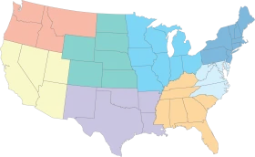
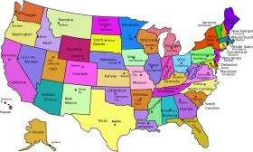
Pastel-Toned United States Regional Map Clipart with Color-Coded Regions

United States Map Silhouette with American Flag Pattern – Patriotic USA Outline

North American Continent Black and White Political Borders Clipart Map Design

Patriotic American Flag Map of United States – National Symbol Waving Design Clipart

Patriotic United States Map Clipart Showcasing Stars and Stripes National Design

Patriotic United States Map Clipart with Stars and Stripes National Design

Patriotic United States Map Silhouette Featuring National Flag Clipart Design
United States Geographical Outline Clipart – Simple Blue National Silhouette Map

Patriotic United States Map and Flag Clipart Showcasing National Pride and Unity

Patriotic United States Map Clipart Showcasing National Flag Design

Simplified United States National Map Blue Toned Clipart Illustration
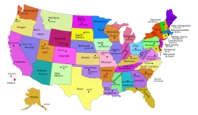
United States of America Pastel-Toned States Map Clipart Illustration Design
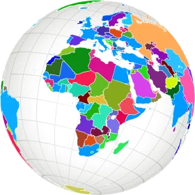
Colorful Political World Map Clipart – Global Regions Illustrated in Diverse Palette
