United States Regional Map Clipart with Color-Coded Geographic Zones
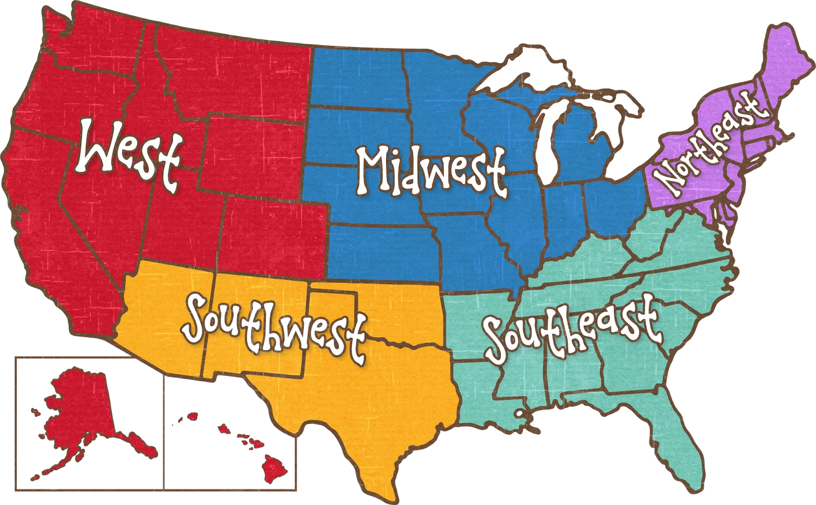
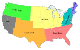
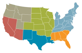
A stylized clipart illustration of the United States divided into five distinct geographical regions - West, Midwest, Southwest, Southeast, and Northeast - each represented by a different bold color. The map includes Alaska and Hawaii as separate inset regions, providing a comprehensive visual representation of the US territories.
1600x991205.05KBimage/webp
Colorful United States Map Clipart – A Vivid Representation of American Geography
Colorful United States of America Political Regions Clipart Map Illustration
Colorful United States Map Clipart – Geographical Regions in Bright Palette

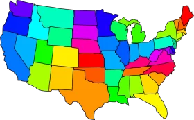
Colorful United States Geographical Regions Simplified Clipart Map Design
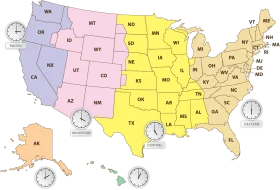
Comprehensive United States Time Zone Regions Clipart Map Illustration
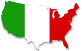
United States Territorial Expansion Clipart Map with Green and Red Regions
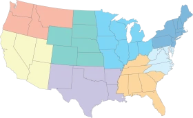
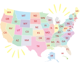
Pastel-Toned United States Regional Map Clipart with Color-Coded Regions

United States Map Silhouette with American Flag Pattern – Patriotic USA Outline
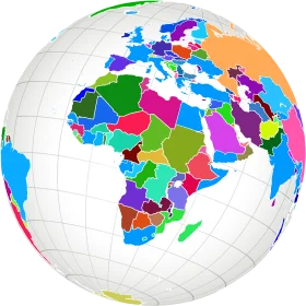
Colorful Political World Map Clipart – Global Regions Illustrated in Diverse Palette
United States of America Pastel-Toned States Map Clipart Illustration Design

Colorful Educational World Globe Clipart Illustration for Learning Geography

Engaging Elementary Student Learning Geography with Colorful Earth Clipart Illustration

Educational Classroom Scene with Teacher and Students Learning Geography Clipart
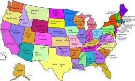
United States Regional Divisions Colorful Geographical Clipart Map Illustration
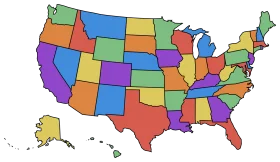
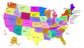
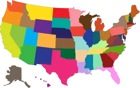
Colorful United States Map Clipart: Diverse State Representation Across America
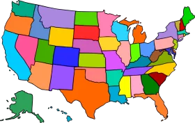
Colorful United States Map Clipart: A Kaleidoscopic Geographic Representation
Colorful United States Map Clipart: A Kaleidoscopic Geographic Representation
United States Regional Colorful Geographical Clipart Map Visualization

Colorful Brain Anatomy Clipart Illustration Showcasing Neural Regions