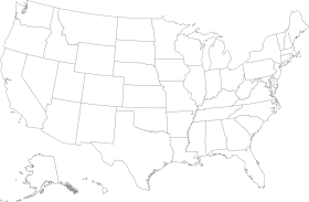
Monochromatic United States Geographic Map Clipart with State Boundaries
A grayscale clipart representation of the United States map, displaying all state boundaries and geographical outlines in a minimalist, neutral color palette.
1188x71967.87KBimage/webp
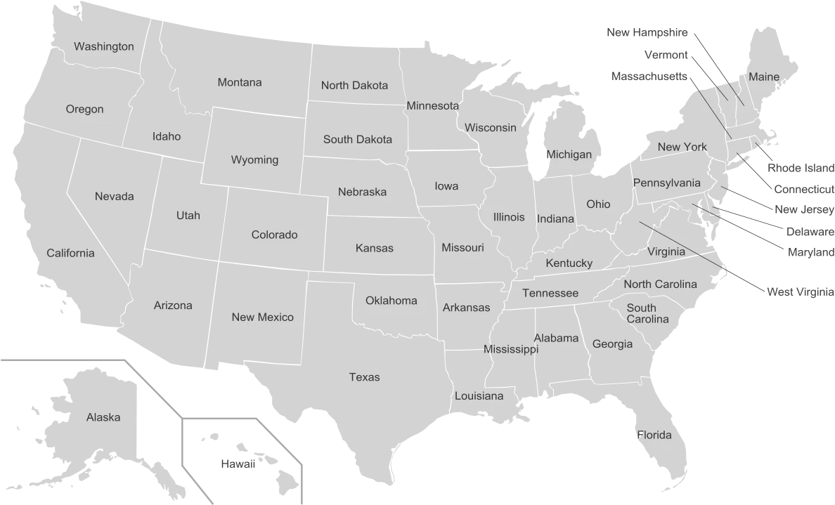
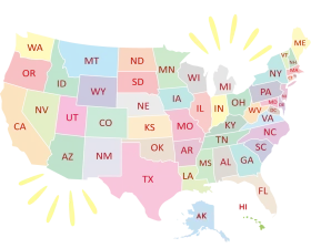
Colorful United States Map Clipart – A Vivid Representation of American Geography

United States Map Silhouette with American Flag Pattern – Patriotic USA Outline
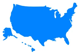
United States Geographical Outline Clipart – Simple Blue National Silhouette Map

North American Continent Black and White Political Borders Clipart Map Design

Patriotic American Flag Map of United States – National Symbol Waving Design Clipart

Patriotic United States Map Clipart Showcasing Stars and Stripes National Design

Patriotic United States Map Clipart with Stars and Stripes National Design

Patriotic United States Map Silhouette Featuring National Flag Clipart Design

Patriotic United States Map and Flag Clipart Showcasing National Pride and Unity

Patriotic United States Map Clipart Showcasing National Flag Design

Simplified United States National Map Blue Toned Clipart Illustration
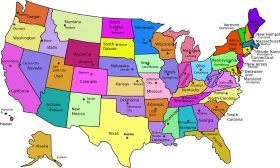
United States of America Pastel-Toned States Map Clipart Illustration Design

Minimalist Black and White United States Outline Clipart Map Illustration

United States Outline Clipart – Simple Black and White Contour Map Design
Minimalist United States Map Clipart – Soft Gray Geographical Outline Design

Minimalist Outline Clipart of Contiguous United States Map Silhouette
Minimalist Black and White United States Outline Clipart Map Design
Minimalist United States Geographical Outline Clipart Map in Soft Grayscale Palette
Minimalist Golden Outline United States Map Clipart – Elegant Geographical Illustration